
Huntley Neighbors by Record Type
“Neighbor” can mean the owner of the next parcel, a registered voter checked one person at a time, a member of a planned community, or a past name in a dated street file. Those meanings are not interchangeable. Start with the source that fits the question and preserve the date.
| Block source | What it shows nearby | Access and limit |
|---|---|---|
| KaneGIS4 or Village GIS | Parcel shapes, roads, districts, facilities, layers | Public map; not a household list |
| Kane buffer Mail | Nearby PINs and tax mailing addresses | Public tool; distance and date needed |
| McHenry Athena | Parcels, owners, address and sales leads, layers | Public viewer; live export can vary |
| Assessment records | Owner, site and mailing addresses, class, value | County portal or township assessor |
| Recorder and permits | Recorded parties, instruments, service-address events | Web, terminal, counter, or FOIA |
| Association or library | Community geography, contacts, dated local context | Public contacts or supervised research |
The assessor can identify ownership, but not all Huntley neighbors who live there. A tax mailing address may be an office, association, or remote address. Always open the parcel detail before drawing a conclusion.
Place Huntley Neighbors in County
Huntley spans Kane and McHenry counties and crosses Grafton, Hampshire, and Rutland townships. The Village zoning map shows those boundaries and a street index. It can route a block to the right county system, but it is not title evidence or a parcel survey.
A postal line of Huntley, Illinois 60142 does not settle county or municipal geography. USPS ZIPs describe mail delivery. For nearby-owner work, the parcel's county and PIN control. On a block near the county line, a short map radius may cross into another custodian even though each address uses the same postal city.
Keep the layers straight. Postal city, village limit, county, township, subdivision, parcel, and association boundary can overlap without matching.
Map Huntley Neighbors by Parcel
The nearby-parcel method starts with one verified address and walks outward only as far as needed. It is more precise than searching an entire street and makes the search date and radius clear.
- Confirm the address format, then identify Kane or McHenry County with the Village map.
- Open KaneGIS4 or McHenry Athena and select the starting parcel.
- Choose the adjacent parcels or a small buffer. Save the distance, map layer, date, and each PIN.
- Open each PIN in Kane DevNet or Athena. Compare situs, owner, and mailing fields without assuming occupancy.
- Use the recorder only when a deed or recorded declaration answers a real follow-up question.
For every parcel along a full named road, switch to the Huntley street directory. The neighbor method stays focused on an immediate block or radius.
Use Kane's Huntley Buffer Tool
The Kane County buffer workflow accepts an address or PIN, a Buffer Dist value, and a Mail action. It can create a nearby-parcel output for Kane County Huntley. Preserve the starting parcel, chosen distance, output date, and returned PINs. Then verify each parcel in the assessment system.
The word “Mail” is a crucial warning. The output concerns tax mailing information, not a list of people physically present on the block. A nearby parcel can be vacant, commonly owned, or held by an association. McHenry Athena offers its own Buffer and Export CSV tools, though the available controls can depend on the live viewer session.
Note: A larger buffer produces more parcels, not more certainty about who currently lives nearby.
Huntley Neighborhood Association Clues
The Sun City Community Association of Huntley provides a useful public example. Its contact page lists the association at 12880 Del Webb Boulevard and the Welcome Center at 12940 Del Webb Boulevard. Public office categories include accounting, administration, facilities and maintenance, lifestyle and activities, modifications and compliance, and new member services.
| Public association source | Safe research use |
|---|---|
| Association contact page | Confirm the institution, office address, and service category |
| Public site map | Locate Community Map, Trail Map, Neighborhoods, and Village links |
| Recorded declaration or plat | Check legal community or subdivision documents by parcel |
| Library Sun City material | Study dated news, calendars, maps, and directory holdings |
The public site also shows a Login link. Member-only pages must not be described as open resident records. Use association material for geography and public routing, not to extract member identities.
When Huntley Owners Are Associations
A Kane DevNet sample parcel shows why an owner name is not always a neighbor. SUN CITY COMMUNITY ASSOC OF HUNTLEY INC. appeared as owner of a vacant lot with a Huntley mailing address. The parcel had no site address, no sale history, zero tax, and Hampshire Township. That result identifies an institutional owner and mailing recipient, not a household.
Cross-check an association name against the PIN, legal description, recorded declaration or plat, and public community map. The same caution applies to condominium bodies and other planned-community entities. They can hold common land, facilities, or service parcels while private homes sit nearby.
There is no verified public Huntley-wide registry of every neighborhood association or subdivision board. Village planning records, recorder declarations, plats, and a known association's public page are the sound fallback chain.
Check Huntley Block Changes
The Huntley permit portal has fields for permit type, permit number, and service address. A permit can date construction or another recorded project near the starting parcel. It does not name all neighbors and should not be read as an occupancy record.
When the public display is too narrow, ask for an existing record under the Illinois Freedom of Information Act. A written request can go by email, mail, fax, or in person. Give the exact service address, record type, and date range. A public body generally responds within five business days, with a possible extension of no more than five business days for reasons listed in the law. Redactions and exemptions still apply.
Voter Limits for Huntley Neighbors
The Illinois voter-registration lookup is an individual check. It asks for first and last name, birth date, five-digit ZIP, and then street number and name. It does not allow a public user to browse every voter on a Huntley block.
Kane's voter-file request can include residence, mailing, precinct, district, and election-history fields, but release is limited to registered political committees and bona fide political purposes. The field PartyName records last-primary history and should not be treated as a fixed personal label. No lawful public block-level voter browse was located, and a complete McHenry field specification was not verified. Use the state tool only for an authorized individual registration check.
Court Results Are Not Neighbors
The manifest capture assigned to this page shows the Kane court-date search. It is a narrow next-appearance tool, not a source for mapping Huntley neighbors. Its place here is a caution about source scope.
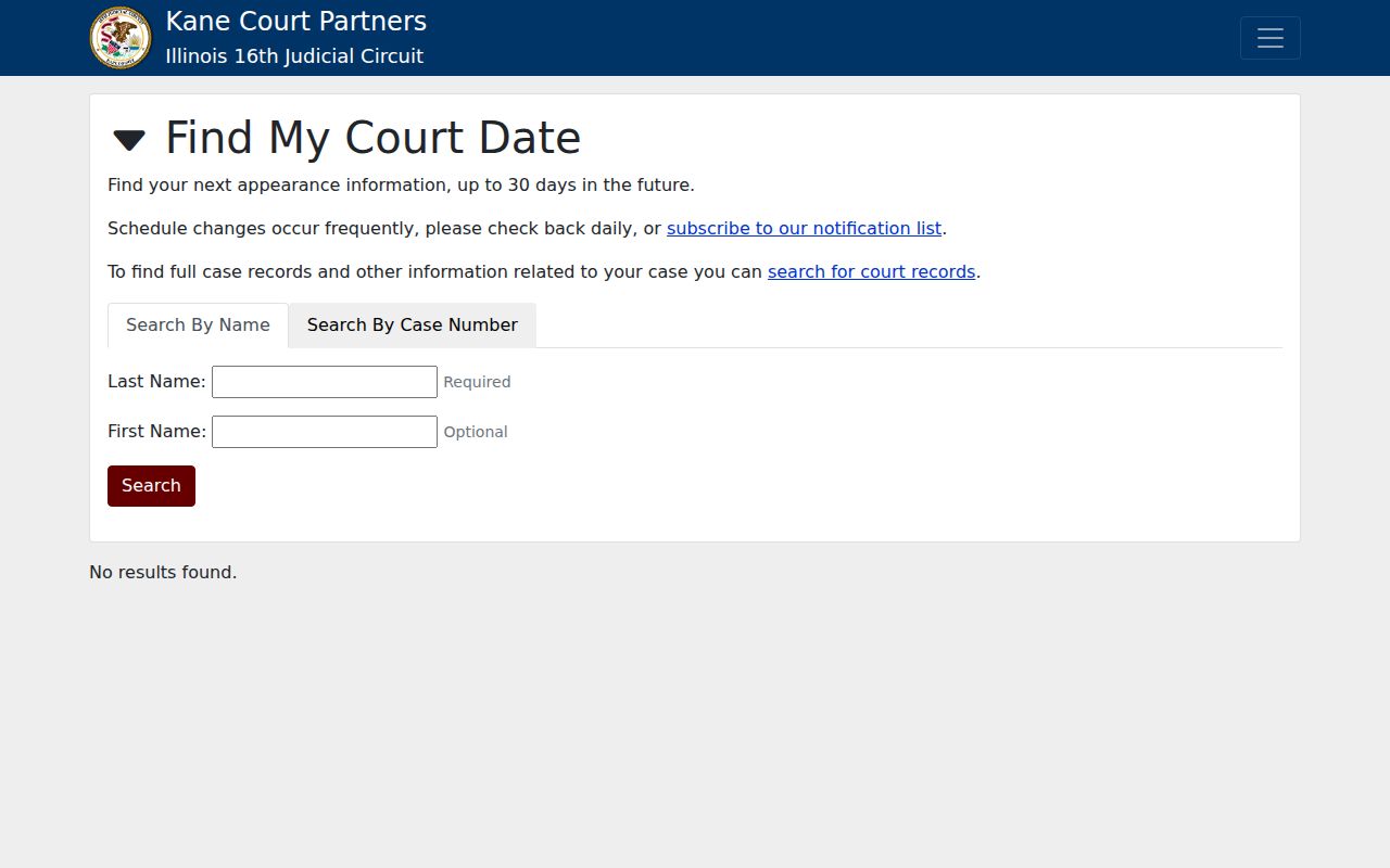
Even a matching name does not establish the current address of a party or any tie to surrounding parcels. Use parcel records for block geography and the court clerk for the meaning of a court entry.
Official Huntley Rolls Versus Tools
Official records and commercial neighbor tools differ in a basic way. County and Village sources publish narrow, dated records created for tax, mapping, recording, or permit work. Commercial products may combine many sources without making the age or custodian of each field clear.
| Source type | Best evidence | Main caution |
|---|---|---|
| County GIS and assessor | Parcel shape, PIN, tax owner, mail and situs fields | Owner is not a household roster |
| Recorder or permit office | Recorded instrument or service-address event | Event date may be old |
| Association public page | Community name, map, and institutional contact | Member content may be private |
| Commercial category | Possible lead for further checking | Source age and matches may be unclear |
Prefer the narrow claim that can be traced to a custodian. If two sources disagree, record both dates and ask the office that created the relevant record.
Protect Privacy of Huntley Neighbors
Public land records do not erase privacy. They omit renters, relatives, guests, utility customers, delivery data, and many protected addresses. Illinois also operates an Address Confidentiality Program for qualifying survivors. Its substitute address supports safer dealings with government, but it does not erase public property records that already exist and is not witness protection.
Search only as far as the lawful personal need requires. Parcel curiosity, neighborhood history, public infrastructure, association routing, and civic awareness are sound uses. Watching a person, publishing a sensitive location, or turning a dated owner record into a claim about a current household can cause harm.
Lawful use. Use Huntley neighbor records with restraint. Never stalk, harass, intimidate, expose, or harm a person found through any address source.
A dated map and a small buffer are more honest than an undated list. Label each result as parcel owner, mailing recipient, recorded party, association contact, permit event, or historical lead.