
Huntley Previous Residents by Era
Start with the source closest to the period being studied. Huntley spans Kane and McHenry counties, so a village mailing address does not select the recorder or assessor by itself. Determine the parcel's county and township first. The era table separates legal ownership from evidence that a household actually lived at the site.
| Source | Years it covers | Where held | What it shows |
|---|---|---|---|
| Recorded instruments | Kane from 1837; McHenry from 1839 | County recorder books, microfilm, portals, terminals | Transfer parties and legal land chain |
| Online recorder access | Kane imaging from 1977; McHenry current index/images described from 1839 | LRS; McHenry Web, Tapestry, or Laredo | Recent instruments and search leads |
| Historic maps | 1875, 1962, 1972, 1979, and current zoning | Library and Village sources | Lots, streets, out-lots, and planning changes |
| Regional directories | 1911, 1912, 1919, 1920, 1926-1935; rural-route subsets | LOC, Newberry, library pathways | Dated address-to-name leads |
| Federal census | Public releases under the 72-year rule | National Archives and library databases | Households and place context |
| Residence files | No uniform date span | Huntley Public Library Local History | Clippings, photos, maps, and prior names |
Use the deed chain for ownership, then add directories and census schedules for occupancy. A permit can date physical work, while a house file may explain a name or photo that no portal shows.
Trace Huntley Owners Backward
Pull the current PIN and legal description from Kane DevNet or McHenry Athena. A PIN is the parcel identification number. Search that fixed land description in the correct recorder's system, since the street number or mailing city can change while the lot and subdivision remain stable.
- Confirm the parcel county, PIN, legal description, and current owner.
- Open the newest deed and record its grantor, grantee, date, and prior instrument reference.
- Search the seller as a grantee to find that party's earlier purchase.
- Repeat backward, keeping every instrument number and name variant.
- Move to public terminals, books, microfilm, or a written request when online coverage ends.
- Grantor and grantee
- The grantor conveys the interest; the grantee receives it.
- Chain of title
- The linked sequence of recorded transfers for the same land.
- Legal description
- The lot, block, subdivision, or metes-and-bounds wording that identifies land more reliably than an old street address.
Kane Recorder materials describe office research back to 1837 and computer or imaging coverage from 1977 forward. McHenry describes indexing and images from 1839 to the present search date, with free Web access plus paid Tapestry and subscriber Laredo options.
Huntley Residence Files Hold Clues
The Huntley local-history file index names residence folders for Baumgartner/Ellison, Conley, Hoy, Huntley, Kreutzer, Mackeben, and Randall/Fujimoto. Street files cover Algonquin Road, Del Webb streets, Dhamer, Hemmer/Harmony, Kreutzer, Main, Reed, Ruth, Route 47, Talamore, and Woodstock. These are strong leads for previous residents, but the file may contain a clipping, photograph, or donated note rather than a verified occupancy list.
Ask the Local History Department for the folder title, contents, date range, and provenance. Compare every name with the parcel and deed trail. The library also holds Historic Huntley Houses volumes, house walks, abstracts, maps, and memory binders. No separate priced house-history service was found, so staff contact is the documented route.
Note: A residence-folder label is a research lead, not proof that each named family owned or occupied the site for a stated period.
Huntley Station Plat to Streets
The 1875 Survey Plat titled “Huntley Station & Out Lots” can bridge railroad-era lots and present streets. Compare its lot, square, railroad, and out-lot labels with later zoning maps from 1962, 1972, and 1979, then with the current official map. This sequence can reveal why a direct search for today's house number fails.
A map dates geography, not a household. Once an old lot is matched, search the legal description in deeds and the old street or route form in directories. Preserve the map year and scale. Do not treat a zoning line as surveyed title evidence.
Pair Huntley Directories and Census
Owners are only half the story. Telephone books, county directories, Evans rural-route books, and specialized community volumes can place a name near an address between census years. The full collection limits belong on the Huntley city directories page; for house history, use each volume only as one dated point.
- Choose the nearest available directory year and copy the entry exactly.
- Search one year before and after, if those volumes exist.
- Match the street, rural route, or phone detail to the historic map.
- Check the nearest public census for household members and neighbors.
- Test later moves or deaths in obituary, cemetery, probate, and deed sources.
Absence can mean a gap, misspelling, unlisted household, move, or death. It is not proof by itself. Label every result as deed party, taxpayer, directory listing, student, cemetery entry, or narrative source.
Huntley House Photos and Stories
The Huntley Historical Society preserves and promotes village history and routes research and photo requests to the library Local History Department. It lists PO Box 92, Huntley, IL 60142, phone 847-865-8447, and a future museum at Sun Valley Farm. That makes the Society useful for photo provenance, oral-history contacts, and historic-house context, not for a public list of past residents.
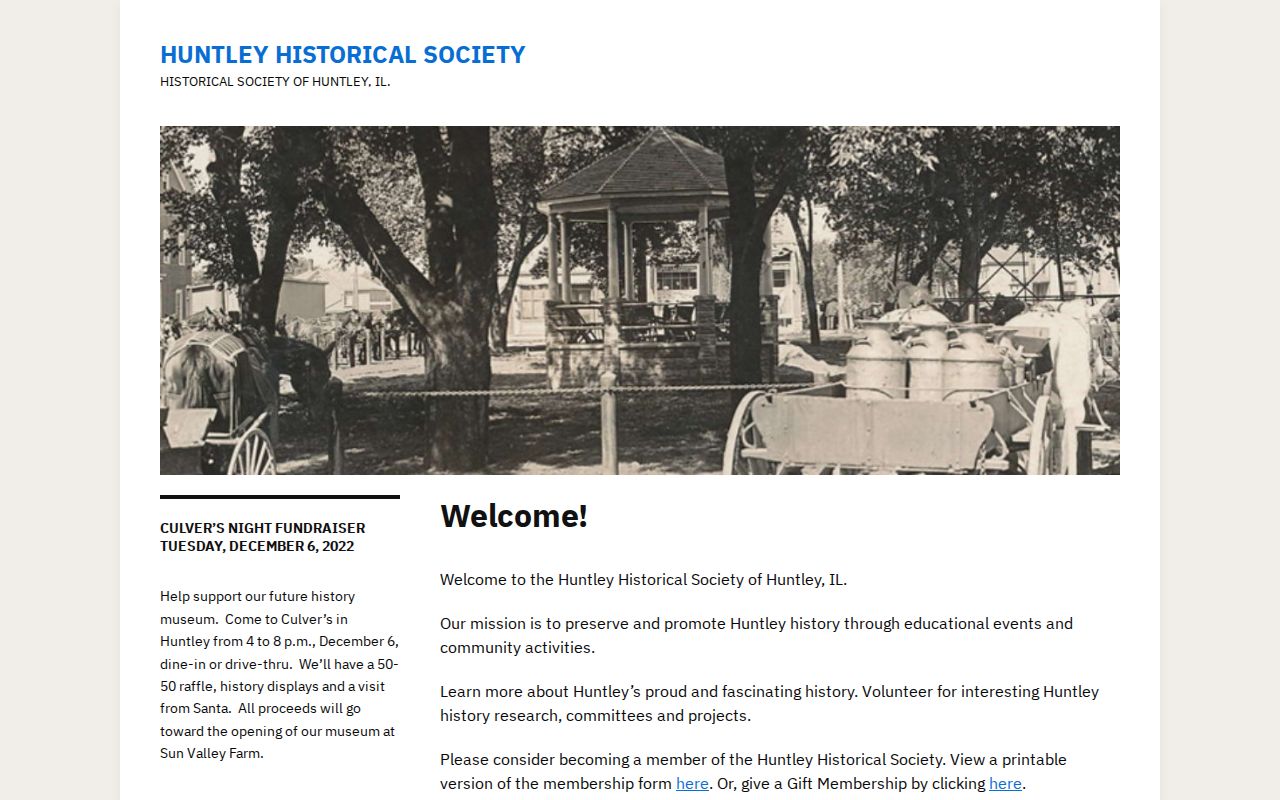
The public contact page shows where to route a focused request. Include the address, approximate year, surname, and known source when asking for help.
One Huntley Address Since 1957
The Huntley post office at 11013 North Woodstock Street opened on March 16, 1957. It offers a clean institution-and-address timeline: a fixed modern site connected to articles about earlier postmasters. Search the building through permits, maps, photographs, and directory listings, while keeping the institution's occupants separate from neighboring households.
This example shows why an address history needs more than a name search. The same physical place may be described as an institution, parcel, postal site, or street entry. The railroad settlement of 1851 and incorporation in 1872 add earlier context, but neither date proves when a modern number began.
End Huntley Trails with Records
Obituaries, cemetery books, probate files, and vital genealogy can explain why a past resident disappears from later sources. Huntley's village cemetery has an earliest known interment in 1845, records 22 Civil War veterans, and received a granite marker with a QR code in 2022. Use the cemetery book and official article rather than relying only on an online memorial.
The Illinois vital-record genealogy guidance generally opens genealogy birth records at 75 years or more and death records after 20 years. Pre-1916 material may route to the county or Illinois Regional Archives Depository system. Eligibility and the county of event still matter.
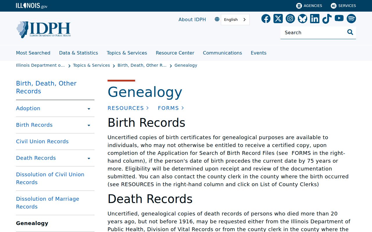
The state page defines an access route. It does not establish that a particular person lived at the Huntley address being researched.
Use Huntley Past Resident Leads Safely
Keep a source log with the record type, custodian, date, search terms, and exact claim. Distinguish owner mailing address from parcel site address, and distinguish a directory listing from a deed party. Huntley's county split makes that discipline vital because a plausible name in the wrong county can create a false chain.
Lawful use. Research previous residents for family history, property history, archives, or personal curiosity. Never use an address trail to track, harass, or harm a living person.
A solid conclusion usually rests on two independent records. When they conflict, preserve both and ask the recorder, library, clerk, or IRAD for the underlying document rather than forcing a match.