
Huntley ZIP Directory Coverage
Official research supports 60142 as the primary Huntley postal label. USPS routing material also groups several other entries under a Huntley label, but that grouping is not proof that those ZIP areas sit inside the incorporated village. No official source reviewed established a second ZIP physically within Huntley.
| ZIP | Area Supported | Post Office or Label | What the Evidence Means |
|---|---|---|---|
| 60142 | Huntley postal label | Huntley IL 60142 | Primary village ZIP label; not a municipal boundary map |
| 60129 | Physical Huntley coverage not established | Grouped with Huntley IL 60142 in DMM L012 | Postal routing group only |
| 60150 | Physical Huntley coverage not established | Grouped with Huntley IL 60142 in DMM L012 | Postal routing group only |
| 60178 | Physical Huntley coverage not established | Grouped with Huntley IL 60142 in DMM L012 | Postal routing group only |
| 60180 | Physical Huntley coverage not established | Grouped with Huntley IL 60142 in DMM L012 | Postal routing group only |
This narrow finding is more useful than a broad, unsupported ZIP list. Treat 60142 as a postal clue, then use the village zoning map and county GIS to test municipal and parcel geography.
Huntley ZIP Routing Myth
A grouped USPS label does not place each grouped ZIP inside Huntley. DMM L012 is routing information. It should not be converted into a claim about village limits, resident counts, parcel ownership, or physical coverage. The research found no official Huntley ZIP split, realignment year, box-only ZIP, unique institutional ZIP, or per-ZIP population table.
Postal limit. USPS says a ZIP result does not confirm a person or company at an address. It also does not prove ownership, occupancy, or incorporation.
That gap shapes the safest use of a Huntley ZIP code directory. Searchers should report what the source supports and mark the rest unresolved. A ZIP-based commercial result cannot fix missing official boundary evidence.
Checking a Huntley ZIP Address
The official USPS ZIP Lookup has three useful routes: By Address, By City and State, and Cities by ZIP. By Address is the best choice when a full street location is known. By City and State returns postal-city information, while Cities by ZIP runs the relationship in reverse.
| USPS field | Type | Required | Use |
|---|---|---|---|
| Company | Text | No | Business or institutional addressee |
| Street Address | Text | Yes | Physical delivery line |
| Apt/Suite/Other | Text | No | Secondary unit information |
| City | Text | Yes | Postal city entered by the user |
| State | Dropdown | Yes | Select Illinois |
| ZIP | Text | No | Known five-digit value |
Use a public municipal address for a repeatable test rather than exposing a private home. Record the search date, standardized street line, city, state, five-digit ZIP, and any ZIP+4 returned. Then move to the county and parcel tools.
Finding Huntley Residents by ZIP
Neither inspected county parcel interface offered a stable ZIP filter. Kane DevNet exposes city and township controls, while McHenry Athena exposes parcel, subdivision, address, owner, and sales modes. The ZIP code directory therefore narrows the search, but the street and county provide the actual portal keys.
- Standardize the street address through USPS and note the postal city, 60142, and any ZIP+4.
- Compare the address with the Village of Huntley zoning map or county GIS. Decide whether Kane or McHenry holds the parcel.
- Search Kane DevNet or McHenry Athena by street address, owner, or PIN. Keep the situs address apart from the tax mailing line.
- Use the parcel and township to route a Recorder, court, permit, election, or FOIA request to the correct custodian.
- Confirm any person with a second official source. A ZIP match alone is never enough.
When the goal becomes a full walk along one named road, the Huntley address directory provides the street-level chain. That method should not be rebuilt from a broad postal result.
Huntley ZIP Crosses Record Systems
Huntley is one incorporated village divided between Kane and McHenry counties and touching Grafton, Hampshire, and Rutland townships. The 60142 label does not choose among those government units. County identity controls which assessor, Recorder, Clerk, Circuit Court, and election office holds a record.
Use the Village zoning resources, KaneGIS4, or McHenry Athena for boundary and parcel orientation. A map layer is a research aid, not a land survey. Preserve the map date and selected layer when county placement is close to a line.
This dual-county geography is the key local fact behind the Huntley ZIP code directory. The postal label stays the same while the custodian changes. A request sent to the wrong county may return no record even when the address is valid.
Note: County and township are record-routing facts; the postal city is a mail label and cannot replace them.
Huntley Parcel Search Without ZIP
Kane DevNet accepts a parcel number, owner name, house number, street name, street type, city, and advanced controls such as township, subdivision, sale dates, and tax years. McHenry Athena offers parcel, subdivision, address, owner, and sales modes, plus map tools. Neither inspected interface had a reliable visible ZIP search field.
Search 60142 only as part of the address context. In Kane, a Huntley mailing line can belong to an association or representative while the site address is blank. In McHenry, a portal access failure should route the search to the township assessor, county office, or GIS, not to an invented ZIP filter. Always record the PIN, legal description, situs, mail-to, county, township, and tax year separately.
The county recorder is the next fallback for a legal property link. Kane’s materials reach to 1837, with computer and image coverage described from 1977 forward. McHenry describes index images from 1839 forward. Older deeds may require books, microfilm, office terminals, mail requests, or staff help.
Reading Huntley ZIP Plus Four
ZIP+4 can refine mail delivery to a smaller delivery segment. It remains postal data, not a resident roll. Standardized formatting is useful before a parcel search or records request because it reduces errors in the street line and unit field.
- ZIP code
- A five-digit USPS routing code. It does not define Huntley’s corporate boundary.
- ZIP+4
- The five-digit ZIP plus four digits that refine a delivery segment.
- PO-box ZIP
- A ZIP assigned mainly or solely to post-office boxes. None was officially established for Huntley in the reviewed research.
- Unique ZIP
- A code assigned to one high-volume organization. No Huntley example was verified.
- Carrier route
- A USPS delivery grouping used to organize addresses for a carrier.
Do not infer a household from a carrier route or ZIP+4. The same delivery segment can contain many units, businesses, public facilities, or vacant parcels.
Huntley ZIP History Sources
Postal facts become clearer when placed beside dated local sources. The Huntley Public Library genealogy collection includes census, land, court, probate, vital, church, directory, and family-history resources. Its shelves also hold maps, address indexes, telephone directories, yearbooks, village files, and county atlases.
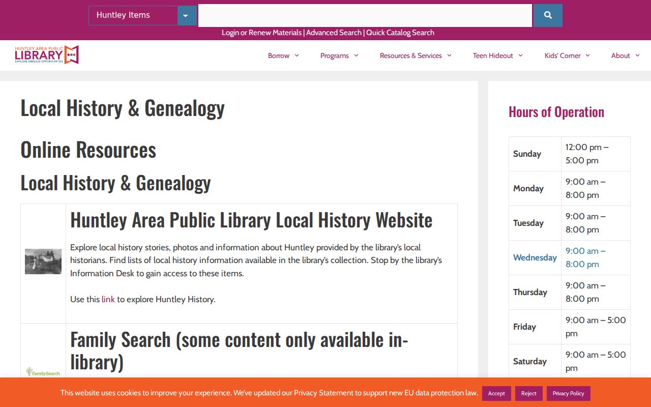
The library capture shows a fallback that is especially useful when current postal tools cannot explain an old address. Search a dated map, directory, or house file, then compare it with the current 60142 format instead of forcing the modern ZIP onto an earlier record.
The library is also a FamilySearch Affiliate and offers several genealogy databases with in-library, library-card, or subscription limits. Staff help, the local-history shelves, and interlibrary loan can continue a search when no online index exists.
Digitized Huntley Address Context
The Illinois Digital Archives Huntley collection provides a second historical route for names, streets, maps, and institutions. Search terms should include the street, family or organization, a date range, and the source type. A caption or scanned page is a dated lead, not proof of current presence in 60142.
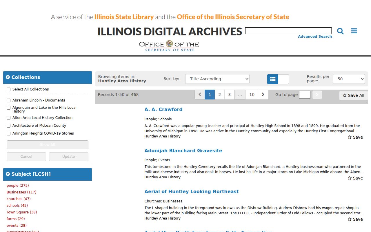
The digital collection adds context that a postal form cannot supply. Follow a useful item to its title, date, collection, and holding institution, then compare the old address with current USPS and parcel records.
Huntley ZIP Request Routing
When no portal has the needed field, call or visit the right county office, use its public terminal, send the office form, or make a narrow written request. Under the Illinois Freedom of Information Act, a request may be sent by email, mail, fax, or in person. Identify the street address, PIN, county, date range, and record type. Ask for an existing record rather than a newly made list by ZIP.
A public body generally has five business days to respond and may use a listed extension of up to five more. The first 50 black-and-white letter or legal pages are free, with a maximum of $0.15 per page after that. Electronic delivery may avoid paper costs when the record already exists that way.
Huntley ZIP and Village Limits
The core mismatch is simple: USPS routes mail, while Huntley, Kane County, McHenry County, and the three townships govern places and keep records. A 60142 label is useful, but it cannot establish incorporation, county, ownership, occupancy, or a complete address list. Grouped routing entries are even narrower evidence.
No official source reviewed confirmed a second ZIP physically within the village, a local ZIP split, or a Huntley-specific realignment year. Keep those points marked as research gaps until USPS, Village Development Services, or county GIS provides direct documentation. Accuracy is more valuable than a longer ZIP list.
Best practice. Use the Huntley ZIP code directory to format and narrow an address, then let the parcel, county, and dated official record establish the claim.