
Walk a Huntley Street Record
Begin with one exact address, not a name. Huntley parcels sit in Kane County or McHenry County and in Grafton, Hampshire, or Rutland Township. The county and township decide which assessor, map, and recorder can answer the next question. A street directory result is strongest when each step keeps the source date, parcel identification number, and the distinction between site and mailing addresses.
- Confirm spelling and postal form with the USPS ZIP Lookup. It verifies delivery format, not a person or village boundary.
- Use Huntley's zoning map to identify county and township. Search Kane DevNet or McHenry Athena by exact address.
- Open the county GIS, select the parcel, and save the PIN, legal description, subdivision, lot, and map date.
- Compare owner and mailing fields with the site address. A match may suggest owner occupancy but proves no full household.
- Follow the PIN into the recorder index, then consult permits and dated library street files.
This path moves from address to parcel, owner, instrument, and dated local evidence. It prevents one convenient field from becoming a claim the record cannot support.
Route Huntley Streets by County
Huntley's county line is central to every by-street search. Kane records route through county systems based in Geneva, while McHenry records route through Woodstock. The official Huntley zoning map displays both counties, three townships, and a street index. It is useful for orientation, but it is not a recorded survey or deed.
On the Kane side, township assessment can involve Hampshire or Rutland. On the McHenry side, Grafton Township is relevant. A Huntley postal line does not select the custodian. Search the parcel first, then let its county and township guide the street directory work. This matters near annexed tracts and subdivisions close to jurisdiction lines.
Routing rule. Postal city, village boundary, county, township, parcel situs, and owner mailing address are separate facts and should stay separate.
Search Huntley Parcels by Address
Kane DevNet is the main free parcel search for Kane County Huntley. McHenry Athena combines parcel and map functions on the other side. Start with house number and street, then broaden only if direction, punctuation, or suffix blocks a result.
| Portal field | Input | Use | Limit |
|---|---|---|---|
| Property Number | PIN | Find one tax parcel | County format must match |
| Owner Name | Person or business | Find linked parcels | Owner may not occupy |
| Property Address | Number and street | Start by address | Vacant lots may be blank |
| Advanced | City, township, class, sale | Narrow results | No visible ZIP filter verified |
A DevNet sample shows the risk: a vacant association-owned parcel had no site address, a Huntley mailing address, zero tax, and Hampshire Township. It was not a resident result. Every hit needs its parcel detail and source date.
Browse Huntley Streets on GIS
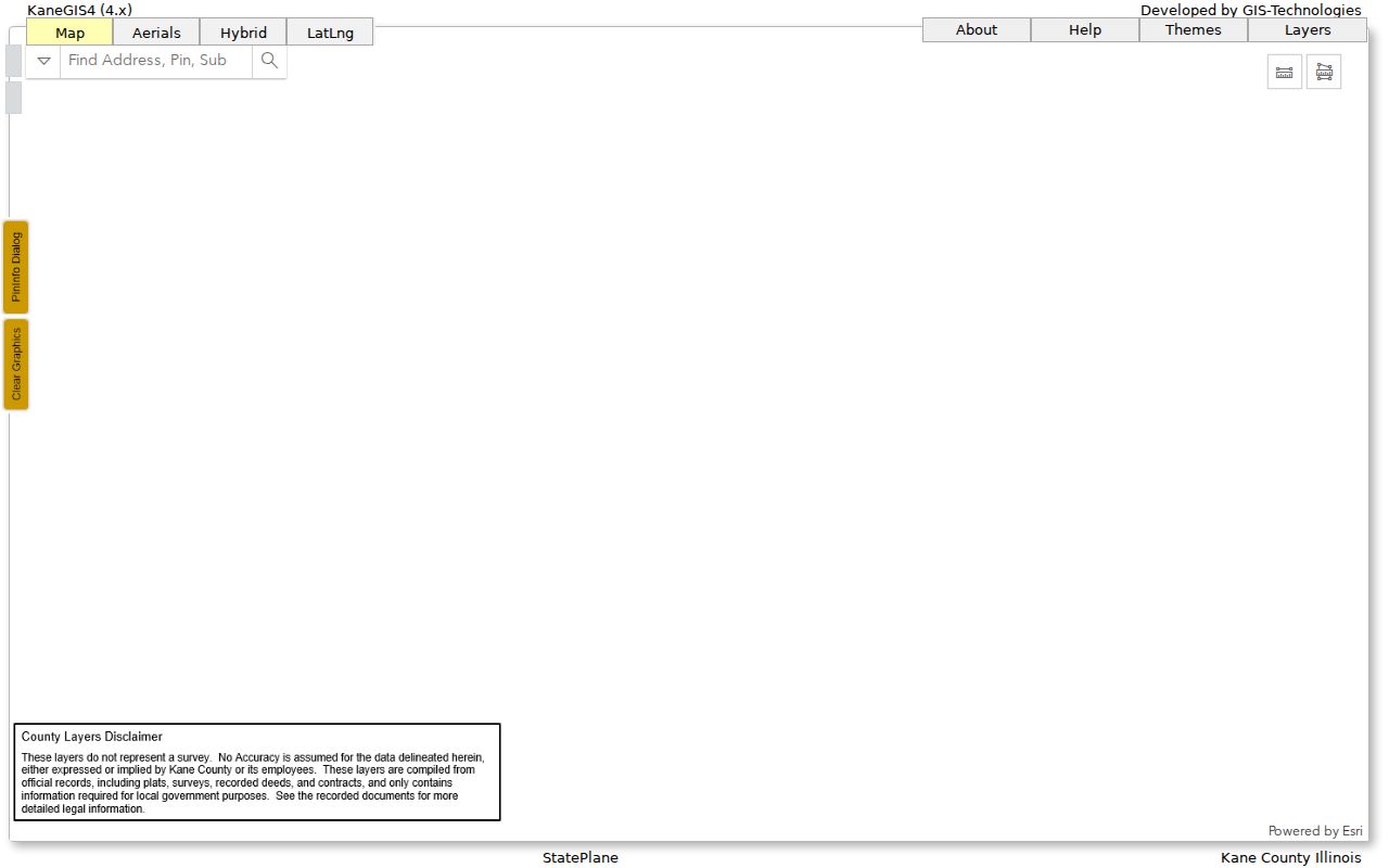
The KaneGIS4 parcel viewer adds parcel shapes, neighboring lots, roads, districts, and layers to the tax roll. Kane warns that mapped geometry may differ from assessment or survey information. The viewer is strong for orientation, not legal boundary proof.
The captured viewer preserves the map surface used to move along adjacent parcels.
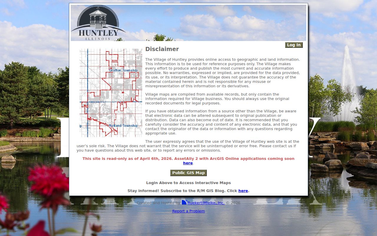
The Huntley GIS transition page said the older system was read-only as of April 6, 2026 during an AssetAlly and ArcGIS Online transition.
Build a Huntley Parcel Radius
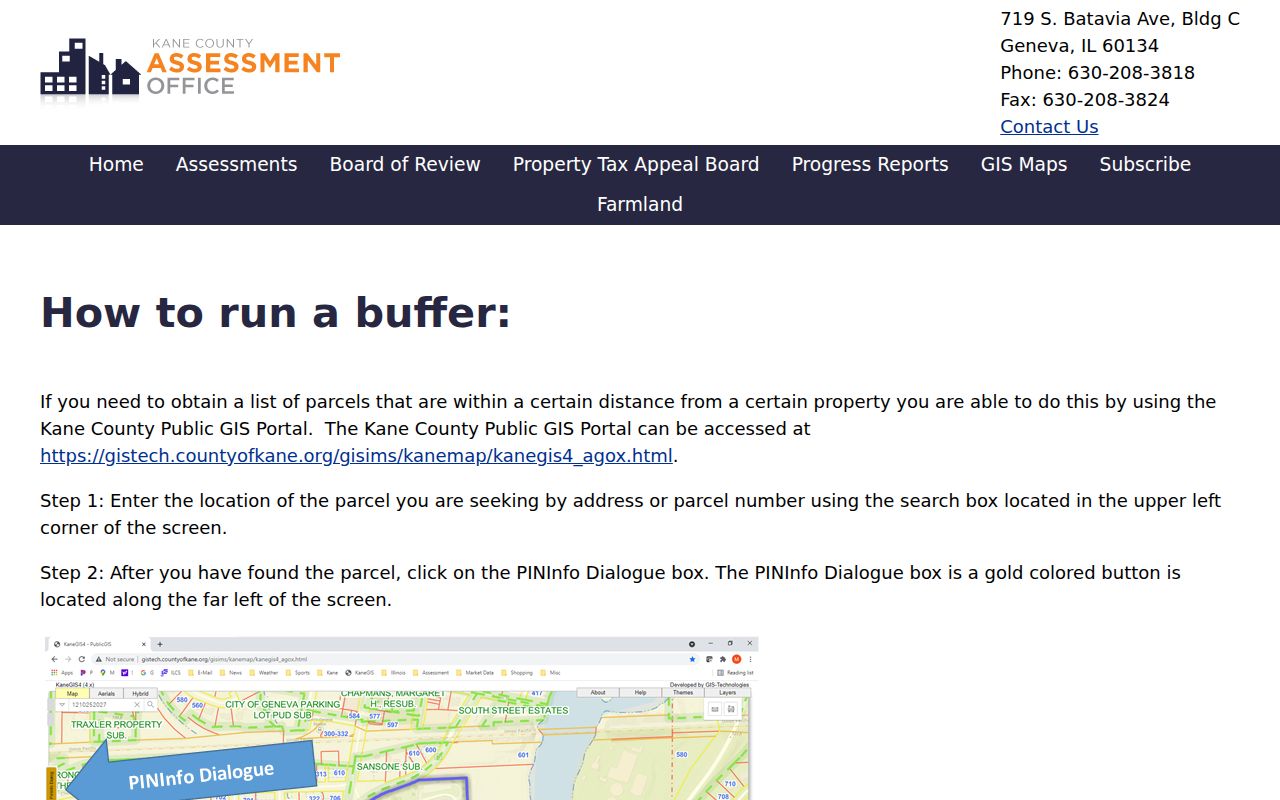
Kane's nearby-parcel tool offers an insider route for a short section of street. The Kane buffer page accepts an address or PIN, Buffer Dist, and a Mail action. Output can support a dated list of nearby PINs and tax mailing addresses. Mail-to data is not occupancy.
The captured form preserves the controls needed for a repeatable search.
McHenry Athena also has Buffer and export tools. When available, record the chosen layer, distance, and export date. Then verify each parcel alone. A radius is a research boundary, not a legal neighborhood.
Huntley Records Indexed by Street
No Huntley street directory contains all owners, occupants, and past households. Each record answers a smaller question. The table preserves that proof limit and every documented access channel.
| Address source | Keeper | What it shows | Access |
|---|---|---|---|
| Assessment roll | Kane or McHenry assessment offices | PIN, owner, situs, mail, class, value | DevNet, Athena, township help |
| Parcel map | County or Village GIS | Shapes, nearby parcels, roads, districts | Viewer or GIS office |
| Recorded documents | Kane or McHenry Recorder | Parties, instruments, dates, legal description | Web, terminal, mail, counter |
| Permits | Huntley Development Services | Type, number, service address | eSuite or FOIA |
| Street files | Huntley Public Library | Clippings, photos, maps, house narratives | Local History room or request |
Use assessments for tax ownership, instruments for title evidence, and permits for dated work. Library files may name people or buildings, but donated material needs verification.
Note: Street presence, owner mail, a directory entry, and a current household are four different claims.
Follow Huntley Deeds by PIN
The Kane Recorder describes research back to 1837, with computer and imaging coverage from 1977 forward. Search the Kane document index by grantor or grantee, the party transferring property and the party receiving it. PIN, legal description, instrument number, date, and prior instrument help separate similar names.
McHenry records are described from 1839 through the current search date. Access includes free Web, paid Tapestry, subscriber Laredo, public terminals, and office help. Older books or images can require the counter. Follow each instrument to the deed before it instead of treating a sale line as a full chain.
- Parcel or PIN
- The county number assigned to a tax parcel.
- Situs address
- The physical-location field, distinct from mail-to.
- Plat
- A recorded map of lots, blocks, streets, or a subdivision.
- Criss-cross directory
- A dated directory arranged by address or phone rather than surname.
Match Huntley Permits to Streets
The Huntley eSuite permit search exposes permit type, number, and service-address fields. Its public display is limited and full date coverage was not established. A permit proves a recorded project or review, not a household.
If eSuite lacks an existing record, Illinois FOIA accepts a written request by email, mail, fax, or in person. Give the address, date range, type, number if known, and exact documents. A public body generally answers within five business days, with a possible listed extension of up to five more. Do not ask Huntley to create a resident list.
Read Huntley Streets Across Time
The library Local History shelves hold the 1875 “Huntley Station & Out Lots” survey plat, zoning maps from 1962, 1972, and 1979, a Huntley Address/Street Index, and regional maps. They link railroad-era lots to present geography but do not form a full occupancy list.
Street files cover Algonquin Road, Del Webb streets, Dhamer, Hemmer/Harmony, Kreutzer, Main, Reed, Ruth, Route 47, Talamore, and Woodstock. Ask for the exact folder and note whether each item is a clipping, photo, map, or narrative. The Huntley city directory collections cover the historical shelf in depth.
No official source documented a Huntley-wide renumbering year. Compare plats, maps, legal descriptions, and street files before saying two address forms are the same site.
Resolve Huntley Street Address Mismatches
A clean postal result is only the first checkpoint. USPS can standardize a street suffix, directional, unit, city, state, and ZIP+4, but its own limitation matters: the result does not confirm that a person or company is at the address. Nor does a 60142 result prove that the parcel falls inside Huntley's incorporated boundary. The primary Huntley postal label is 60142, while several grouped routing entries found in postal material were not proven to be physically inside the village.
Next compare the postal form with the parcel's situs field and legal description. The tax bill's mail-to field belongs in a separate column. If one county portal returns nothing, check the zoning map before trying the other county rather than assuming the address is missing. Historic work needs one more pass through the 1875 plat, the dated zoning maps, and library street files. A road can be present while its number, suffix, route description, or jurisdiction has changed.
The Huntley street directory should label every address form with its source and date. That small habit prevents postal routing, tax administration, and historical naming from being blended into one false current address.
Limits of Huntley Street Records
Parcel and deed systems document land, ownership, tax, and transactions. They do not publish a complete household. Renters, relatives, guests, and other occupants may never appear. DMV addresses, utility customers, and delivery records are not a public street directory. Association ownership can also appear where no private home exists.
The Illinois voter lookup checks one named person with name, birth date, ZIP, and street. It is not a street browse. Bulk voter data is limited to registered political committees and bona fide political purposes. No lawful public block-level voter browse was found.
Lawful use. Huntley address records support personal research, property history, and civic checks. Never use them to stalk, harass, intimidate, or harm anyone.
Commercial tools may merge stale and unrelated data. Official sources are narrower, dated, and tied to a custodian. For a tight block radius, use the Huntley neighbors search without turning owner fields into occupancy claims.